Sailing area
Brest bay
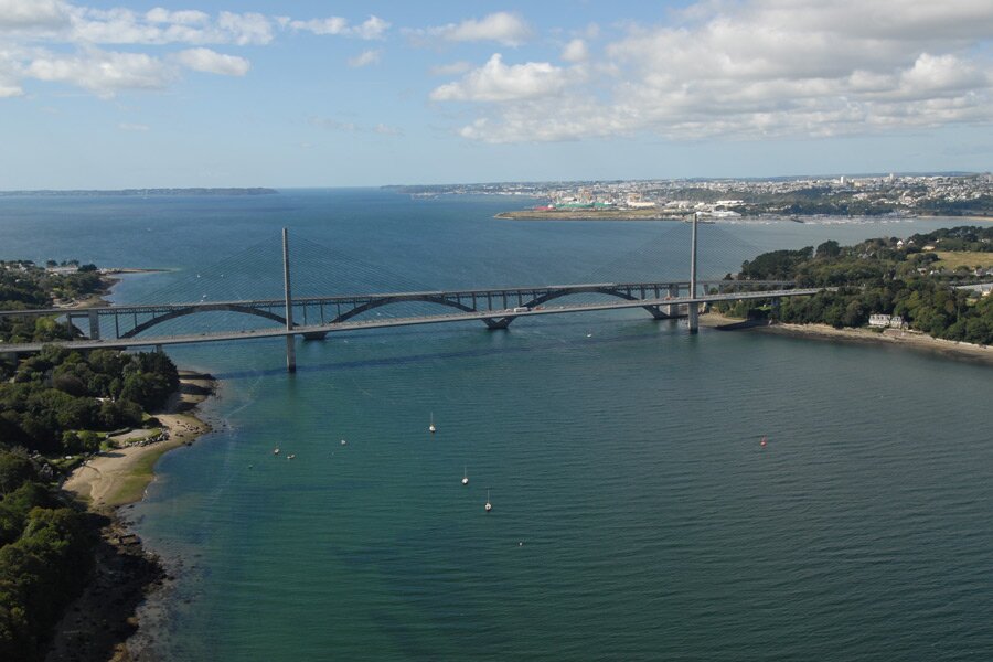
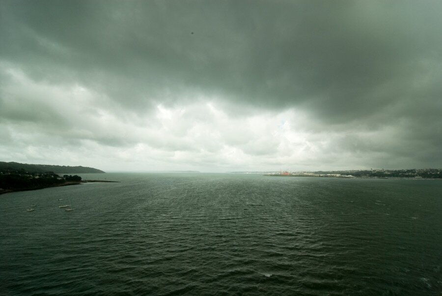
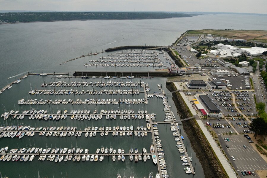
A large sailing water space covering 15 000 hectares that is connected to the open sea by only one narrow corridor, “the Goulet” offer easy sailing whatever the weather.
Surrounded by various landscape of beaches and cliffs, military and commercial harbour, the bay is free from rocks.
Six rivers flow into the bay, island, and cay.
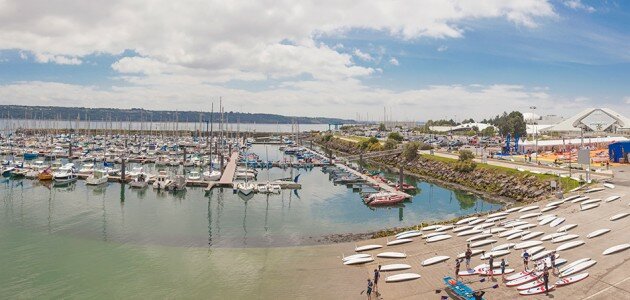
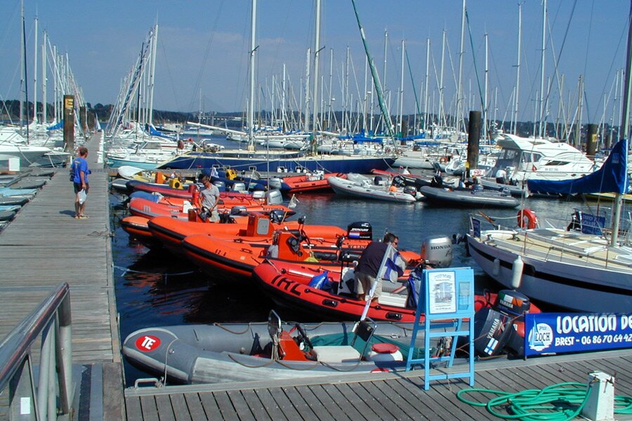
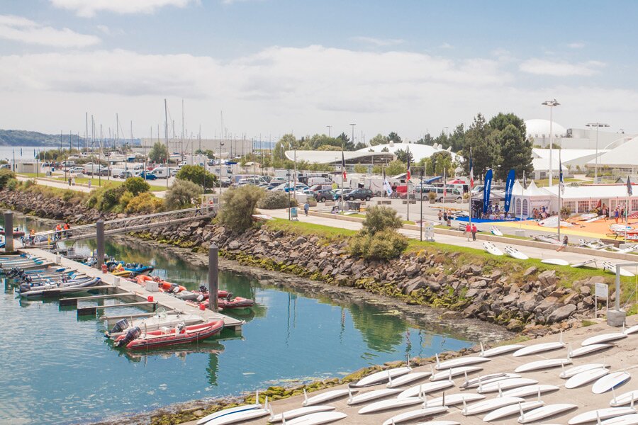
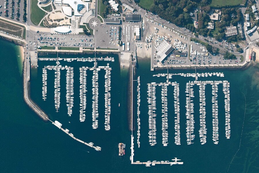
Moulin Blanc harbour
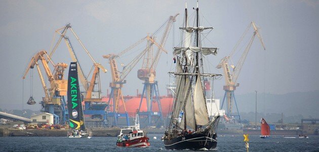
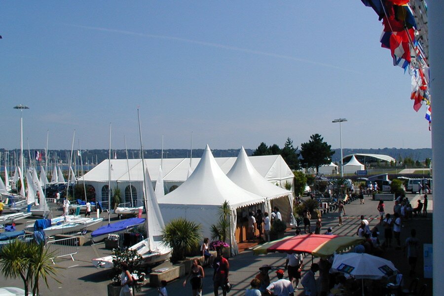
Moulin Blanc harbour is the start for round the world races, and also tall ship events (Brest 92, 96, 2000, 2004 and 2008).
Moulin Blanc harbour is well protected and offer 1325 moorings all along the year and 100 moorings for visitors.
Mystic water area
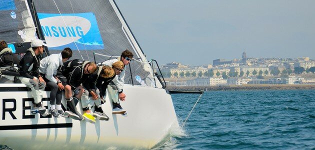
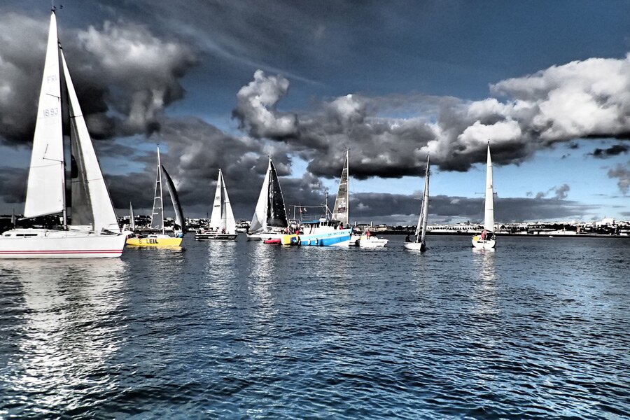
With its leading position in Olympic sailing and Ocean racing, Brest has been organizing major sailing competitions since 1976. Brest Bay has already hosted eight World Championship six European Championship and 30 National Championship….
In 2015, for the third time Brest will hosted 39th Micro Cup, World Micro Championship.
Thousands regattas
It has also welcomed start and finish of offshore regattas as “Solitaire du Figaro”, the “6.50 single-handed Transatlantic Race”, the “EDHEC Race” as well as Transoceanic races alone or with crew, and thousands of others…
From the Optimist to Maxi, and don’t forget Old Gaffers.
Streams and Tides
Due to narrow the corridor « le Goulet » the bay is divided into two water area, and the six rivers mixed their water according to the tide.
Combination of contrary wind and stream produce swell, race strategy complexity will then be helped by streams map and will avoid from some surprise.

